
Hi Everyone,
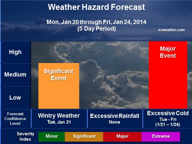
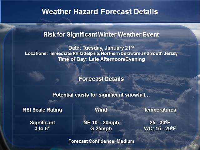
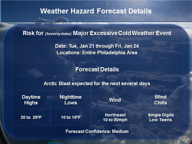
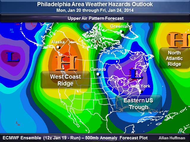
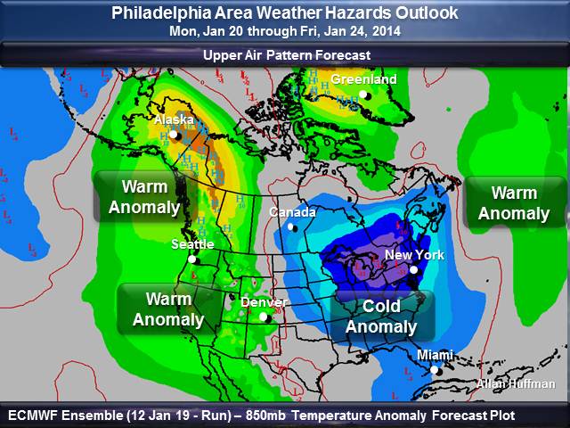
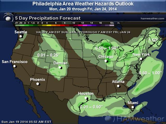
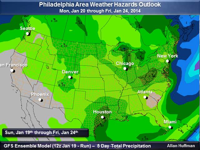
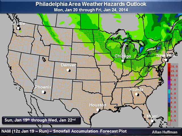
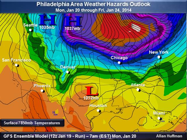
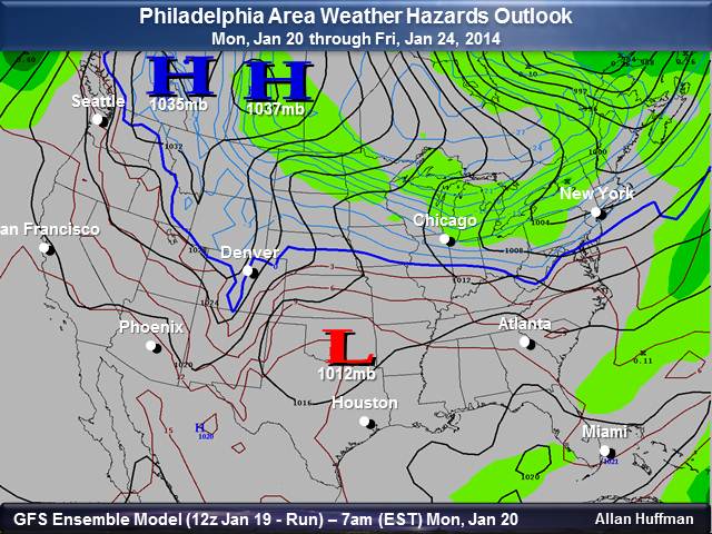
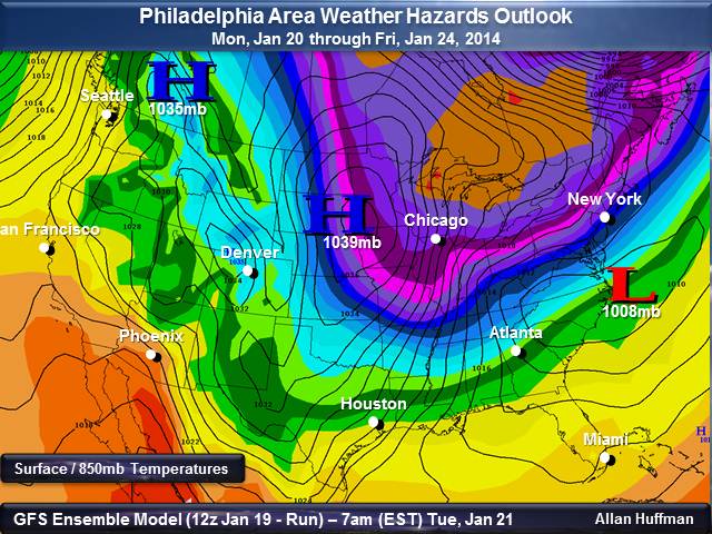
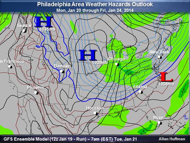
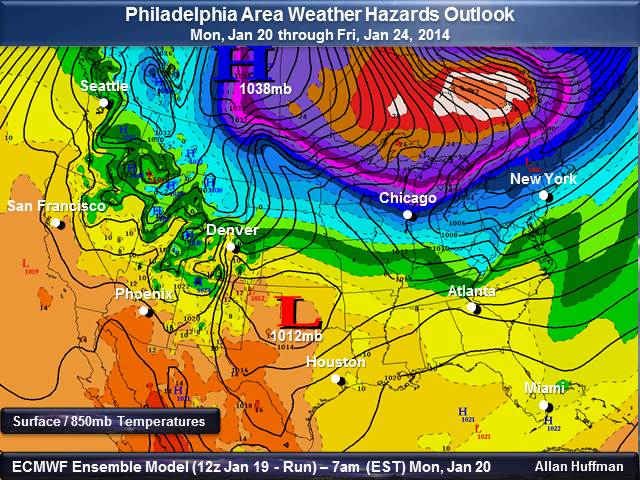
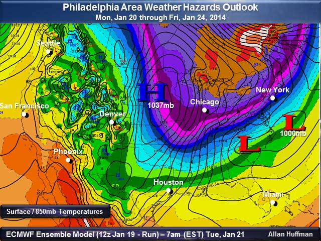
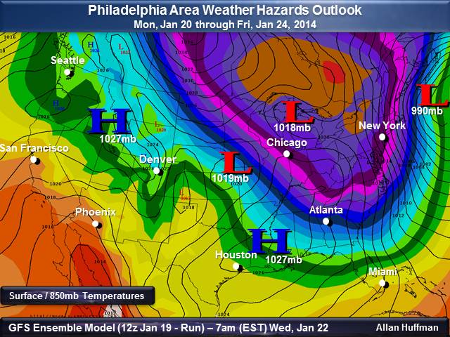
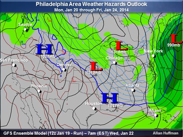
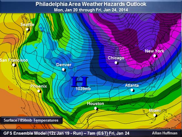
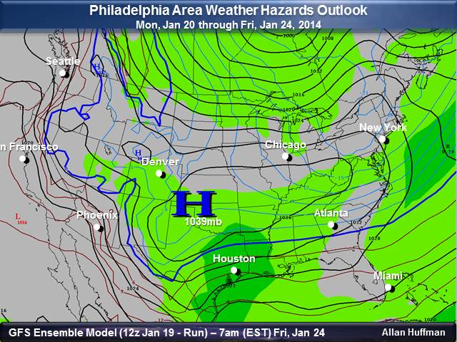
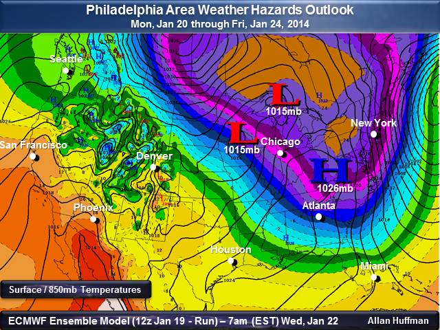
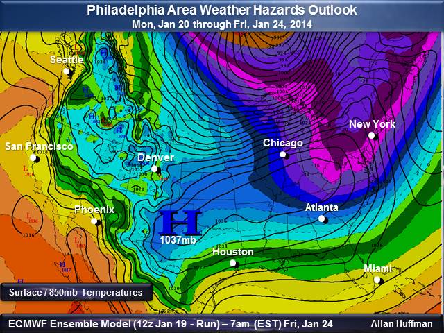
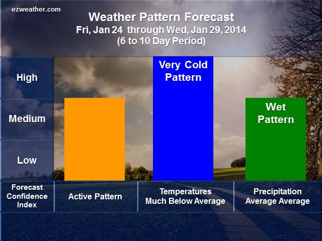
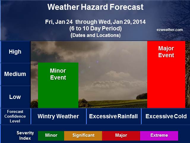
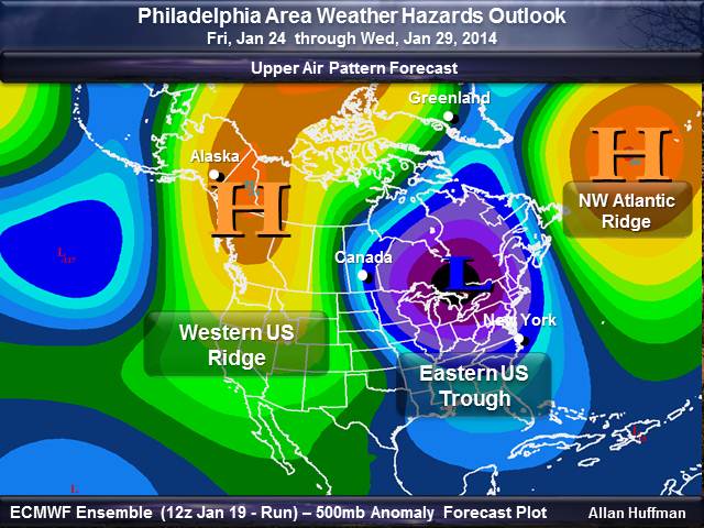
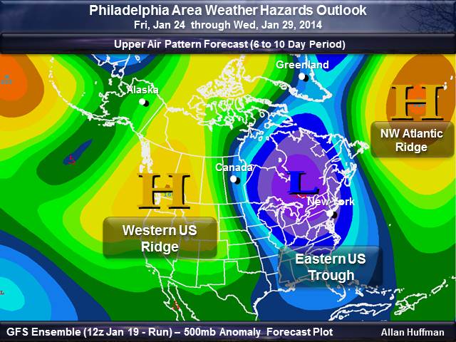
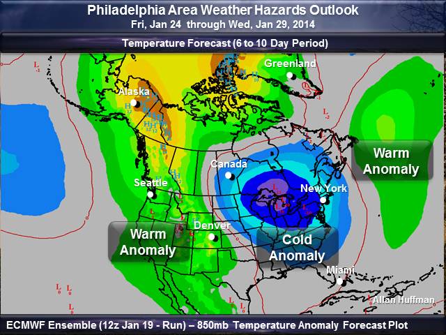
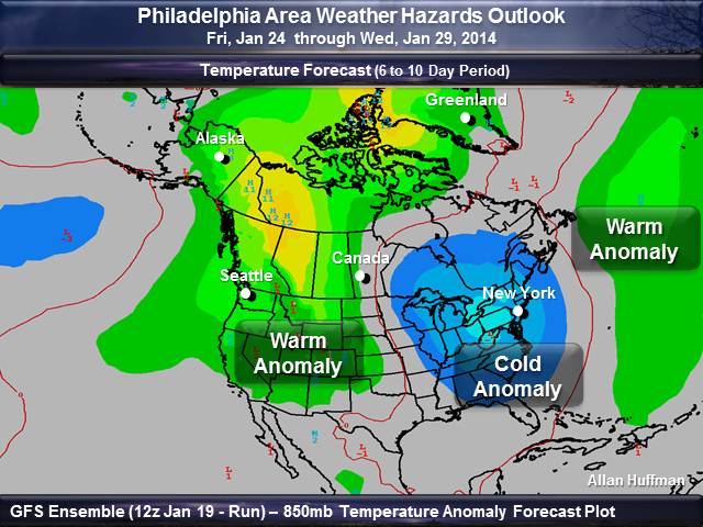
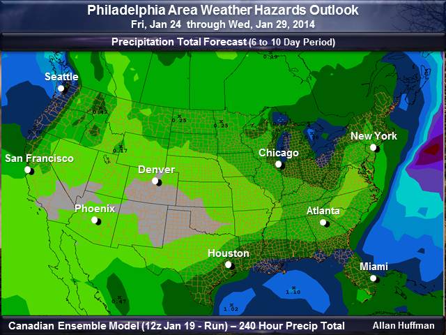
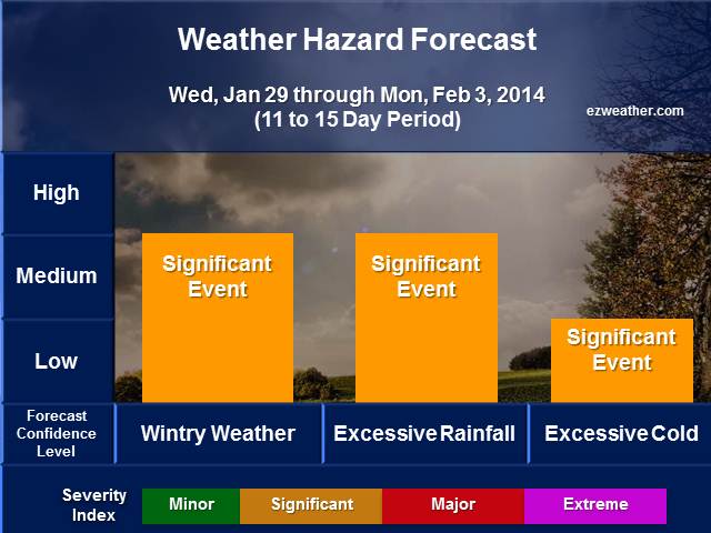
A bit late getting this package out, but finally its ready. One of the new things you’ll see below is my risk table. Check below for details. In terms of the weather expected this week. Looks like we have a threat of snow on Tuesday. So, we have a risk for wintry weather. We have a system that will be diving down from Canada and bring a round of snow on Tuesday. The clipper is expected to intensify Tuesday night as it moves away from the area. There is a risk that this system could bring several inches of accumulation. So, this system bears watching for now. By tomorrow night, temperatures will begin fall to very cold levels and be below freezing for all of Tuesday. So, once we get some snow on Tuesday, travel will become very slippery. The snow is expected to be very powdery. Plus, the wind will pick up Tuesday night, so wind chills could make it feel like its in the single digits at times. Definitely keep up with the latest NWS forecasts on the winter weather threat. In addition, we have a threat for excessive cold for all of this week. Very cold air mass will build into all the Philadelphia Area from Canada. The pattern right now has become very favorable for a very cold period, where temperatures won’t get above 32 degrees for many locations. In fact Wednesday, temperatures may not get above 20 for most locations. Nighttime lows will likely drop to the single digits. Also, expect winds to be on the breezy side, so we can expect some low wind chills at times. Now, as we head into the longer range, we may see a moderation in temperatures. Probably expect that as we head into early February.
After check out these outlooks, check your local National Weather Service forecasts by clicking here. Just enter your zip code and you’ll be able to get the latest updates.
ezweather.com’s Weather Hazard Forecasts
|
||||||||||||||||||||||||||||||||||||||||||||||||||||||||||||||||||||||||||||||||||||||||||||||||||||||||||||||||||||||||
|
W 6 to 10 Day Weather Outlook
|
||||||||||||||||||||||||||||||||||||||||||||||||||||||||||||||||||||||||||||||||||||||||||||||||||||||||||||||||||||||||
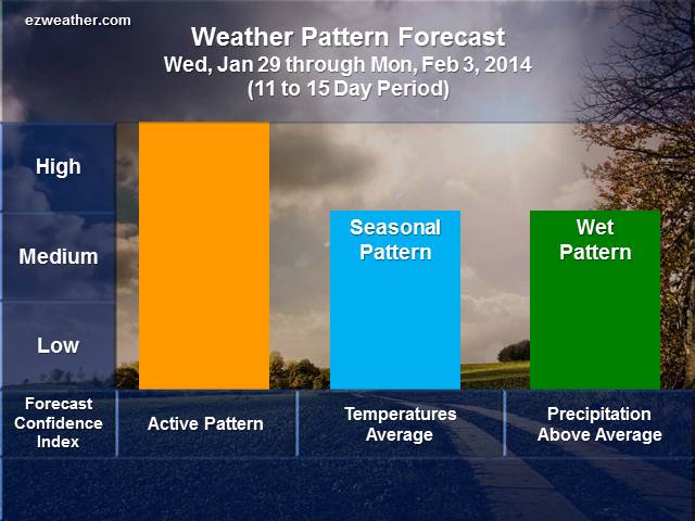
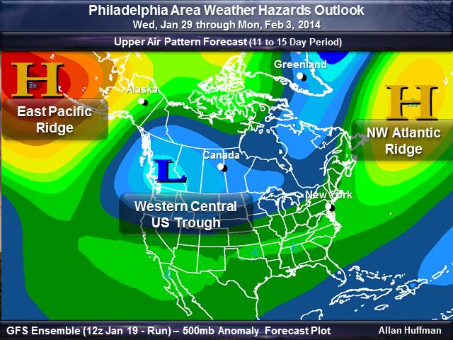
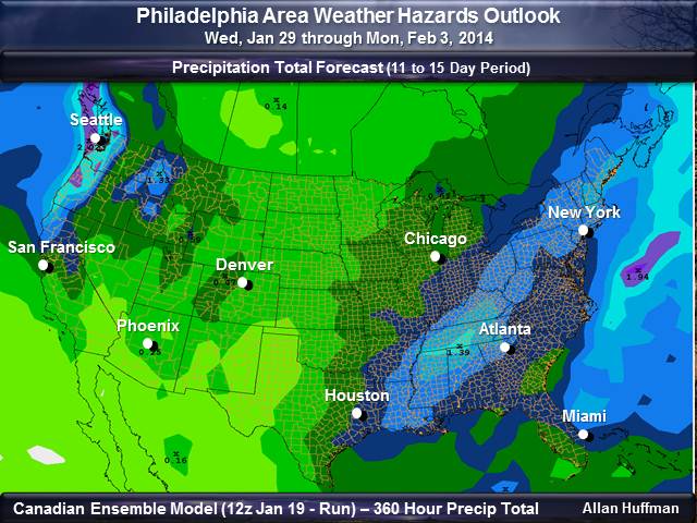
11 to 15 Day Weather Outlook
 |
 |
| Weather Hazard Forecast Table Background: Forecast Confidence, Severity Index | |
| Check out the supporting data for my forecasts. You can get an idea of how I assess this period for hazardous weather. | |
| Upper Air Pattern | |
 |
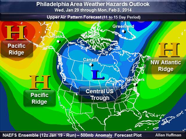 |
| Temperature Outlook | |
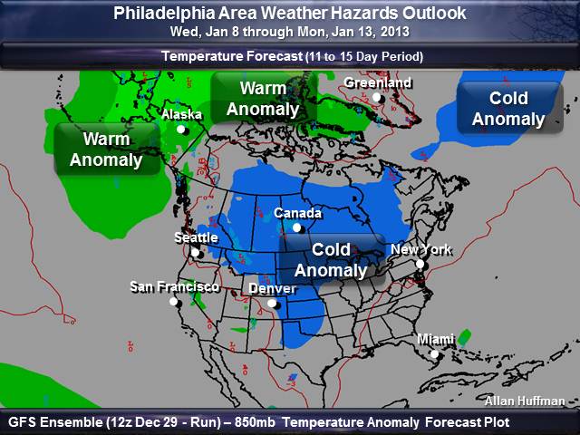 |
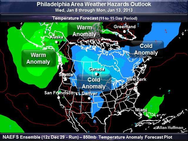 |
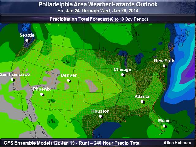
| Precipitation Total Outlook | |
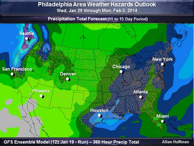 |
 |
********************************************************************************************************************************************** Background Information This type of forecast is high level and designed to help folks to plan for hazardous weather with a longer lead time. So, these type of forecasts will aid anyone involved with Skywarn, Emergency Management and the Public. These forecasts are quick assessments and experimental. The goal with this type of forecast is to to point out whether each period will be active or not. In addition, these tables can be treated as a severe weather index level. W