
Hi Everyone,
Check out the latest US Hazards Outlook from the Climate Prediction Center below. Note Weather Prediction Center (WPC) and Climate Prediction Center (CPC) update this product Mondays through Fridays only.
US HAZARDS OUTLOOK
NWS Weather Prediction Center and Climate Prediction Center
College Park, MD
300 PM EDT Friday, April 11, 2025
| Day 3 – 7 Outlook | Day 8 – 14 Outlook |
 |
|
US Day 3 – 7 Hazards Outlook
Issued by the Weather Prediction Center (WPC)
Valid Monday, April 14th though Friday, April 18th, 2025
…Overview…
An amplified upper level trough will be in place across the East Coast for the upcoming weekend, with a surface low off the Mid-Atlantic coast likely tracking a little south of Nova Scotia by early next week. Meanwhile, an upper ridge crossing the central U.S. during the weekend will support very warm conditions for this time of year. An incoming upper trough across the northern Rockies will then spur surface cyclogenesis across the central/northern Plains by Sunday with a cold front crossing the Intermountain West. The cold front should then reach the south-central and eastern U.S. by Tuesday as the leading upper ridge continues eastward. The front’s supporting upper trough should reach the East by next Wednesday. Another trough is likely to reach the West Coast region during the Tuesday to Wednesday time period, but its evolution has higher uncertainty.
Click here for the rest of the forecast discussion
US Weather Hazards
Issued by the Climate Prediction Center
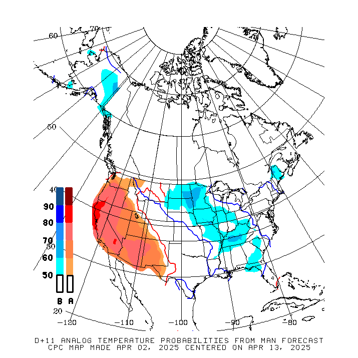
8 to 14 Day Outlook Summary
Valid Saturday, April 19th though Friday, April 25th, 2025
Synopsis: A shot of much below normal temperatures bringing frost and freeze chances to portions of the Mid-Atlantic is possible at the onset of week-2. Associated with this cold air is an area of surface low pressure forecast to develop in the Northeast and southeastern Canada bringing increased chances for high winds to parts of the region. By the middle of the period, an area of mid-level low pressure over the West will begin to bring increased chances for heavy precipitation and high winds to portions of the south-central contiguous U.S. (CONUS). Flooding remains possible into week-2 along portions of the Middle and Lower Mississippi River.
| Experimental Probabilistic Outlooks |
||
 |
 |
 |
| Temperature Hazards | Precipitation Hazards | Wind Hazards |
 |
||
| Snow Hazards | ||
Weather Hazards
For the full discussion, click here |
||
| 6 to 10 Day Maps | |
 |
 |
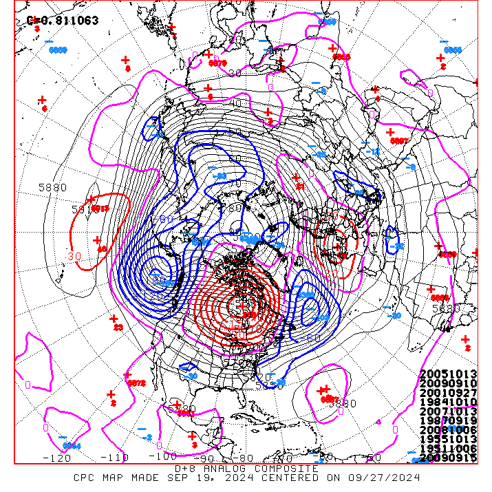
| 6 to 10 Day Analog Year Maps | ||
| 500mb Map | Temperatures | Precipitation |
 |
 |
 |
8 to 14 Day Maps |
|
 |
 |
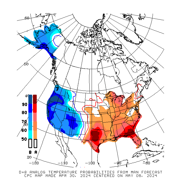
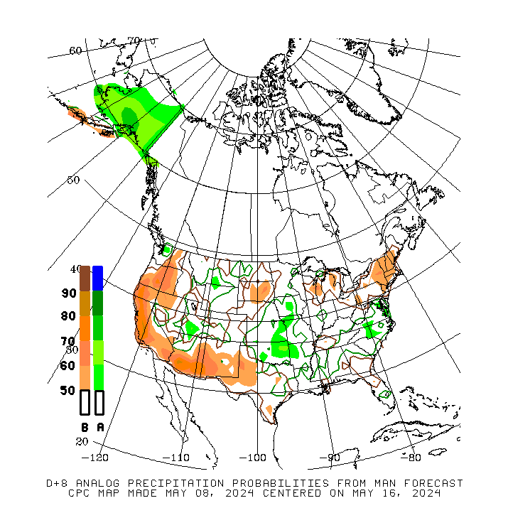
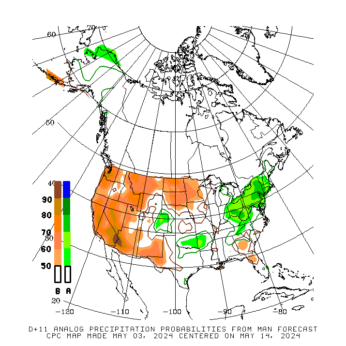
| 8 to 14 Day Analog Year Maps | ||
| 500mb | Temperature | Precipitation |
 |
 |
 |
*********************************************************************************************************************
Climate Prediction Center
Background
Vision
- An informed society preparing for and responding to climate variations and their impacts
Mission
- CPC delivers real-time products and information that predict and describe climate variations on timescales from weeks to years thereby promoting effective management of climate risk and a climate-resilient society.
Expert Assessments
- Climate Prediction Center (CPC) meteorologists and oceanographers review climate and weather observations and data along with model results; assess their meaning, significance, and current status; and likely future climate impacts. Their findings are issued as assessments, advisories, special outlook discussions, and bulletins.
U.S Hazards Outlook
- From Monday-Friday, the CPC issues an outlook of weather- and climate-related hazards to the United States for the next three to fourteen days.