
Hi Everyone,
Check out the latest US Hazards Outlook from the Climate Prediction Center below.
US HAZARDS OUTLOOK
NWS Weather Prediction Center and Climate Prediction Center
College Park, MD
300 PM EDT Friday, March 28, 2025
| Day 3 – 7 Outlook | Day 8 – 14 Outlook |
 |
|
US Day 3 – 7 Hazards Outlook
Issued by the Weather Prediction Center (WPC)
Valid Monday, March 31st through Friday, April 4th
…Intense Central to Eastern U.S. Arctic Blast this week…
…Overview…
Latest guidance agrees upon moderate progression of individual shortwaves aloft within an evolution toward a larger scale mean pattern consisting of a western ridge and eastern trough by the start of next week. This transition will bring the best potential for meaningful precipitation to the Pacific Northwest from the weekend into early next week, along with a pronounced warming trend over the western-central U.S. after the very cold temperatures forecast east of the Rockies into late this week. The southern tier may see some precipitation but with much lower confidence for specifics, due to the lower predictability of medium to smaller scale leading shortwaves and associated surface features.
Click here for the rest of the forecast discussion
US Weather Hazards
Issued by the Climate Prediction Center
8 to 14 Day Outlook Summary
Valid Saturday, April 5th through Friday, April 11th
Synopsis: Model solutions indicate a potential transition to zonal flow at upper levels, resulting in a relatively calm week-2 for the contiguous U.S. (CONUS) from a hazards perspective. Low pressure over the North Pacific at the surface and mid-levels is favored to bring moist onshore flow to the Pacific Northwest, bringing the potential for high winds, heavy precipitation, and heavy snow to higher elevations for portions of the week-2 period.
| Experimental Probabilistic Outlooks |
||
 |
 |
 |
| Temperature Hazards | Precipitation Hazards | Wind Hazards |
 |
||
| Snow Hazards | ||
Weather Hazards
For the full discussion, click here |
||
| 6 to 10 Day Maps | |
 |
 |
| 6 to 10 Day Analog Year Maps | ||
| 500mb Map | Temperatures | Precipitation |
 |
 |
 |
8 to 14 Day Maps |
|
 |
 |
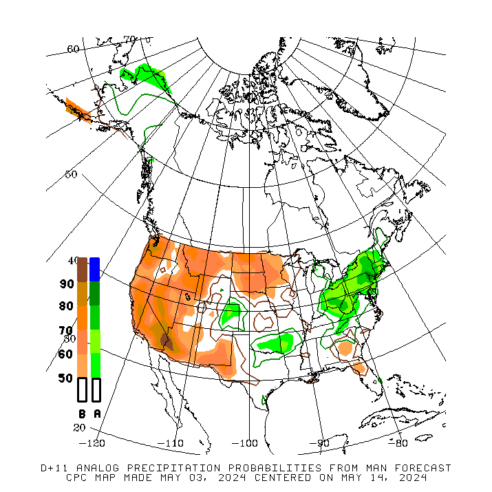
| 8 to 14 Day Analog Year Maps | ||
| 500mb | Temperature | Precipitation |
 |
 |
 |
*********************************************************************************************************************
Climate Prediction Center
Background
Vision
- An informed society preparing for and responding to climate variations and their impacts
Mission
- CPC delivers real-time products and information that predict and describe climate variations on timescales from weeks to years thereby promoting effective management of climate risk and a climate-resilient society.
Expert Assessments
- Climate Prediction Center (CPC) meteorologists and oceanographers review climate and weather observations and data along with model results; assess their meaning, significance, and current status; and likely future climate impacts. Their findings are issued as assessments, advisories, special outlook discussions, and bulletins.
U.S Hazards Outlook
- From Monday-Friday, the CPC issues an outlook of weather- and climate-related hazards to the United States for the next three to fourteen days.