
Hi Everyone,
Check out the latest US Hazards Outlook from the Climate Prediction Center below.
US HAZARDS OUTLOOK
NWS Weather Prediction Center and Climate Prediction Center
College Park, MD
300 PM EDT Friday, September 27, 2024
| Day 3 – 7 Outlook | Day 8 – 14 Outlook |
 |
|
US Day 3 – 7 Hazards Outlook
Issued by the Weather Prediction Center (WPC)
Valid Monday, September 30th through Friday, October 4th
…Overview…
Latest models continue to show progressive mean flow across the northern lower 48 from midweek through next weekend, supporting a series of fronts during the period. The front expected to reach the Northwest around Friday may produce organized light to locally
moderate rain, but otherwise any precipitation along the fronts should be fairly light and scattered. Farther south, persistent upper ridging over and near the Southwest will keep that part of the country unseasonably hot with some of the heat reaching the Plains. There is a persistent signal for increasing rainfall along the Gulf Coast, especially central/western areas, as a weakness develops between the Southwest ridge and another ridge building over Florida and parts of the Atlantic/Caribbean. In addition some models continue to show potential for tropical development from the northwestern Caribbean into the Gulf of Mexico, further enhancing rainfall if a system nears the Gulf Coast. However there is still a lot of uncertainty over the combined details of flow aloft and possible tropical development.
Click here for the rest of the forecast discussion
US Weather Hazards
Issued by the Climate Prediction Center
8 to 14 Day Outlook Summary
Valid Saturday, October 5th through Friday, October 11th
Synopsis: Heavy rainfall is forecast across much of the Southeast, extending through portions of the Middle Mississippi, Tennessee, and Ohio Valleys to the Mid-Atlantic during week-1 related to the remnants of Helene. While the system is forecast to dissipate well before the start of week-2, flooding impacts may continue over these areas. Any additional rainfall over parts of Florida and the Southeast during week-2 could further exacerbate flooding concerns. Late-season excessive heat is favored across the Desert Southwest early in week-2. Surface low pressure may bring enhanced wind and rainfall to parts of southern Alaska during the outlook period but are not anticipated to reach hazardous criteria at this time.
| Experimental Probabilistic Outlooks |
||
 |
 |
 |
| Temperature Hazards | Precipitation Hazards | Wind Hazards |
 |
||
| Snow Hazards | ||
Weather Hazards
For the full discussion, click here |
||
| 6 to 10 Day Maps | |
 |
 |
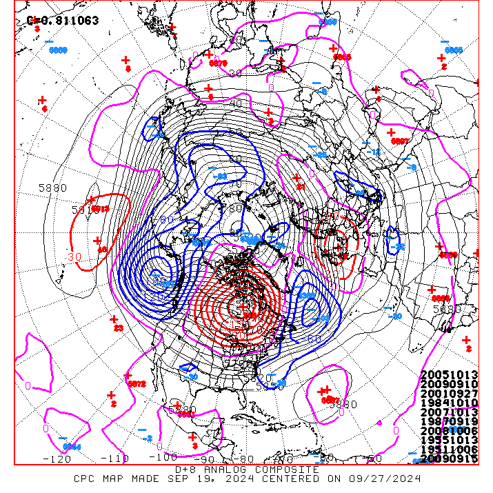
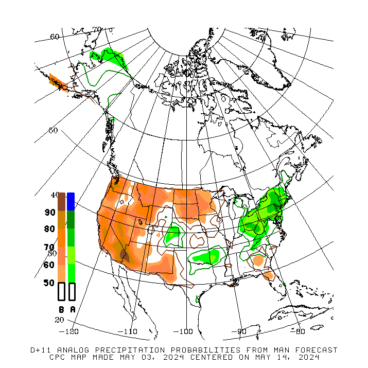
| 6 to 10 Day Analog Year Maps | ||
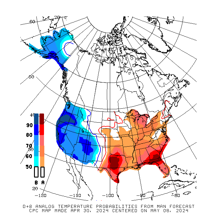
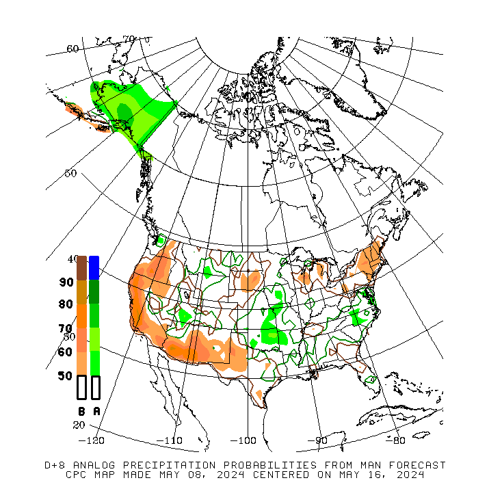
| 500mb Map | Temperatures | Precipitation |
 |
 |
 |
8 to 14 Day Maps |
|
 |
 |
| 8 to 14 Day Analog Year Maps | ||
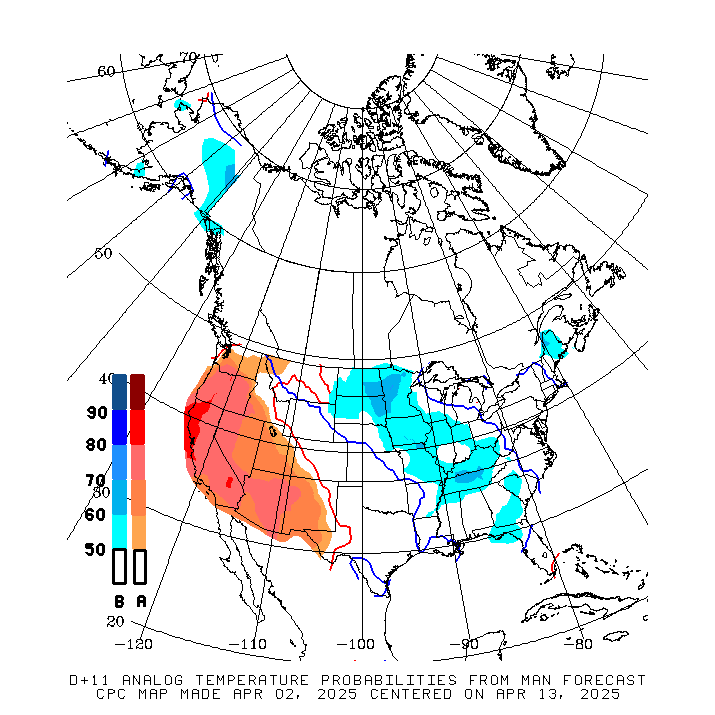
| 500mb | Temperature | Precipitation |
 |
 |
 |
*********************************************************************************************************************
Climate Prediction Center
Background
Vision
- An informed society preparing for and responding to climate variations and their impacts
Mission
- CPC delivers real-time products and information that predict and describe climate variations on timescales from weeks to years thereby promoting effective management of climate risk and a climate-resilient society.
Expert Assessments
- Climate Prediction Center (CPC) meteorologists and oceanographers review climate and weather observations and data along with model results; assess their meaning, significance, and current status; and likely future climate impacts. Their findings are issued as assessments, advisories, special outlook discussions, and bulletins.
U.S Hazards Outlook
- From Monday-Friday, the CPC issues an outlook of weather- and climate-related hazards to the United States for the next three to fourteen days.