
Hi Everyone,
Check out the latest US Hazards Outlook from the Climate Prediction Center below.
US HAZARDS OUTLOOK
NWS Weather Prediction Center and Climate Prediction Center
College Park, MD
300 PM EDT Wednesday, September 18, 2024
| Day 3 – 7 Outlook | Day 8 – 14 Outlook |
 |
|
US Day 3 – 7 Hazards Outlook
Issued by the Weather Prediction Center (WPC)
Valid Saturday, September 21st through Wednesday, September 25th
…Overview…
Upper troughing centered over the Four Corners states as the medium range period beginning Saturday will gradually push into the central U.S. into next week while reloading. This trough and frontal systems at the surface will lead to cooler temperatures behind them, but provide support for likely heavy rain across central portions of the U.S. particularly this weekend. In the East, upper troughing will linger into the weekend, which along with weak surface frontal systems over the western Atlantic may lead to showers across parts of the Eastern Seaboard, along with onshore flow for some possible coastal flooding. This trough looks to push away early next week in favor of ridging. A stalling front may focus rain over South Florida at times for perhaps nonzero flooding concerns over the urban corridor. Meanwhile NHC and WPC will continue to monitor possible tropical development in the Caribbean that may slowly move northward next week.
Click here for the rest of the forecast discussion
US Weather Hazards
Issued by the Climate Prediction Center
8 to 14 Day Outlook Summary
Valid Thursday, September 26th through Wednesday, October 2nd
Synopsis: Model solutions indicate increasing tropical convection and the potential for tropical cyclone (TC) development over the western Caribbean, resulting in an enhanced potential for heavy precipitation for portions of the Southeast U.S. Mid-level low pressure over the Aleutian Islands and a series of surface low pressure systems bring the potential for episodic heavy precipitation to southeastern Alaska.
| Experimental Probabilistic Outlooks |
||
 |
 |
 |
| Temperature Hazards | Precipitation Hazards | Wind Hazards |
 |
||
| Snow Hazards | ||
Weather Hazards
For the full discussion, click here |
||
| 6 to 10 Day Maps | |
 |
 |
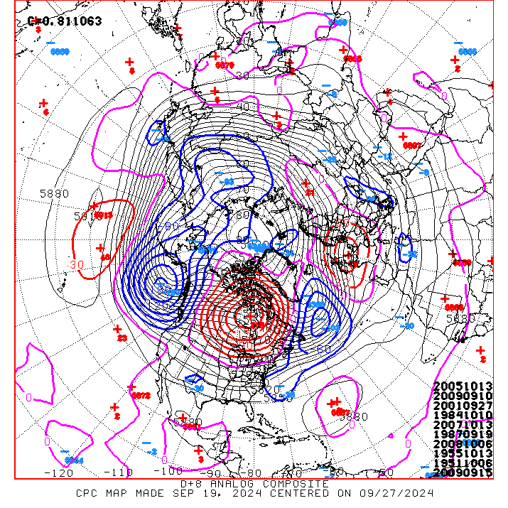
| 6 to 10 Day Analog Year Maps | ||
| 500mb Map | Temperatures | Precipitation |
 |
 |
 |
8 to 14 Day Maps |
|
 |
 |
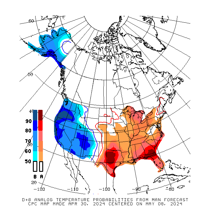
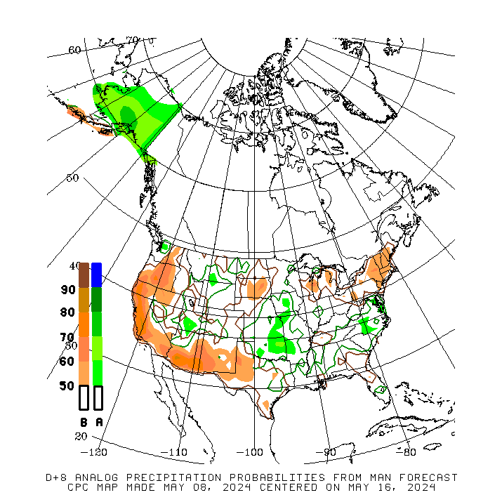
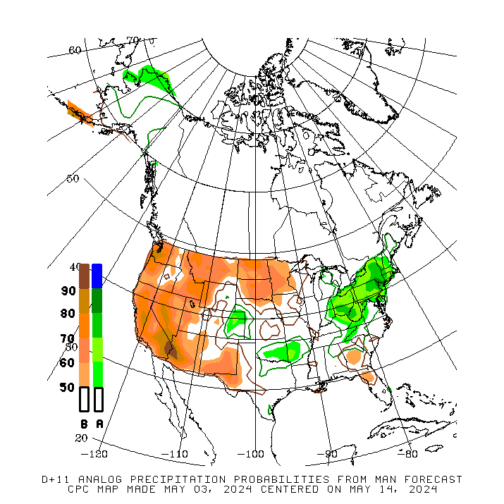
| 8 to 14 Day Analog Year Maps | ||
| 500mb | Temperature | Precipitation |
 |
 |
 |
*********************************************************************************************************************
Climate Prediction Center
Background
Vision
- An informed society preparing for and responding to climate variations and their impacts
Mission
- CPC delivers real-time products and information that predict and describe climate variations on timescales from weeks to years thereby promoting effective management of climate risk and a climate-resilient society.
Expert Assessments
- Climate Prediction Center (CPC) meteorologists and oceanographers review climate and weather observations and data along with model results; assess their meaning, significance, and current status; and likely future climate impacts. Their findings are issued as assessments, advisories, special outlook discussions, and bulletins.
U.S Hazards Outlook
- From Monday-Friday, the CPC issues an outlook of weather- and climate-related hazards to the United States for the next three to fourteen days.