
Hi Everyone,
Check out the latest US Hazards Outlook from the Climate Prediction Center below.
US HAZARDS OUTLOOK
NWS Weather Prediction Center and Climate Prediction Center
College Park, MD
300 PM EDT Thursday, June 21, 2024
| Day 3 – 7 Outlook | Day 8 – 14 Outlook |
 |
|
US Day 3 – 7 Hazards Outlook
Issued by the Weather Prediction Center (WPC)
Valid Sunday, June 23rd through Thursday, June 27th
…Hazardous heat possible much of next week for the South/Plains…
…Guidance/Predictability Assessment…
An upper level ridge will remain anchored over much of the Southern half of the nation through the week, leading to multiple days of above normal to possibly hazardous heat. To the north, individual shortwaves within the westerlies crossing southern Canada and the northern tier of the U.S. to the Northeast will support a series of progressive surface lows and trailing fronts across the northern half to two thirds of the lower 48. A deeper upper low will build off the Northwest coast, moving into the region sometime later in the week.
Click here for the rest of the forecast discussion
US Weather Hazards
Issued by the Climate Prediction Center
8 to 14 Day Outlook Summary
Valid Friday, June 28th through Thursday, July 4th
Synopsis: Early in week-2, areas of mid-level low pressure are forecast across the northeastern and western contiguous U.S. (CONUS). Both of these features are predicted to weaken, with broad mid-level high pressure expanding across the CONUS later in the period. The risk of excessive heat is likely to remain elevated for many areas of the lower 48 states through the beginning of July. Frequent periods of thunderstorms with locally heavy rainfall and an increased risk of flash flooding are expected to persist for the upper Mississippi Valley. The Southwest monsoon is forecast to become more active, leading to increasing chances of locally heavy rainfall and flooding across parts of the southwestern U.S.
| Experimental Probabilistic Outlooks |
||
 |
 |
 |
| Temperature Hazards | Precipitation Hazards | Wind Hazards |
 |
||
| Snow Hazards | ||
Weather Hazards
For the full discussion, click here |
||
| 6 to 10 Day Maps | |
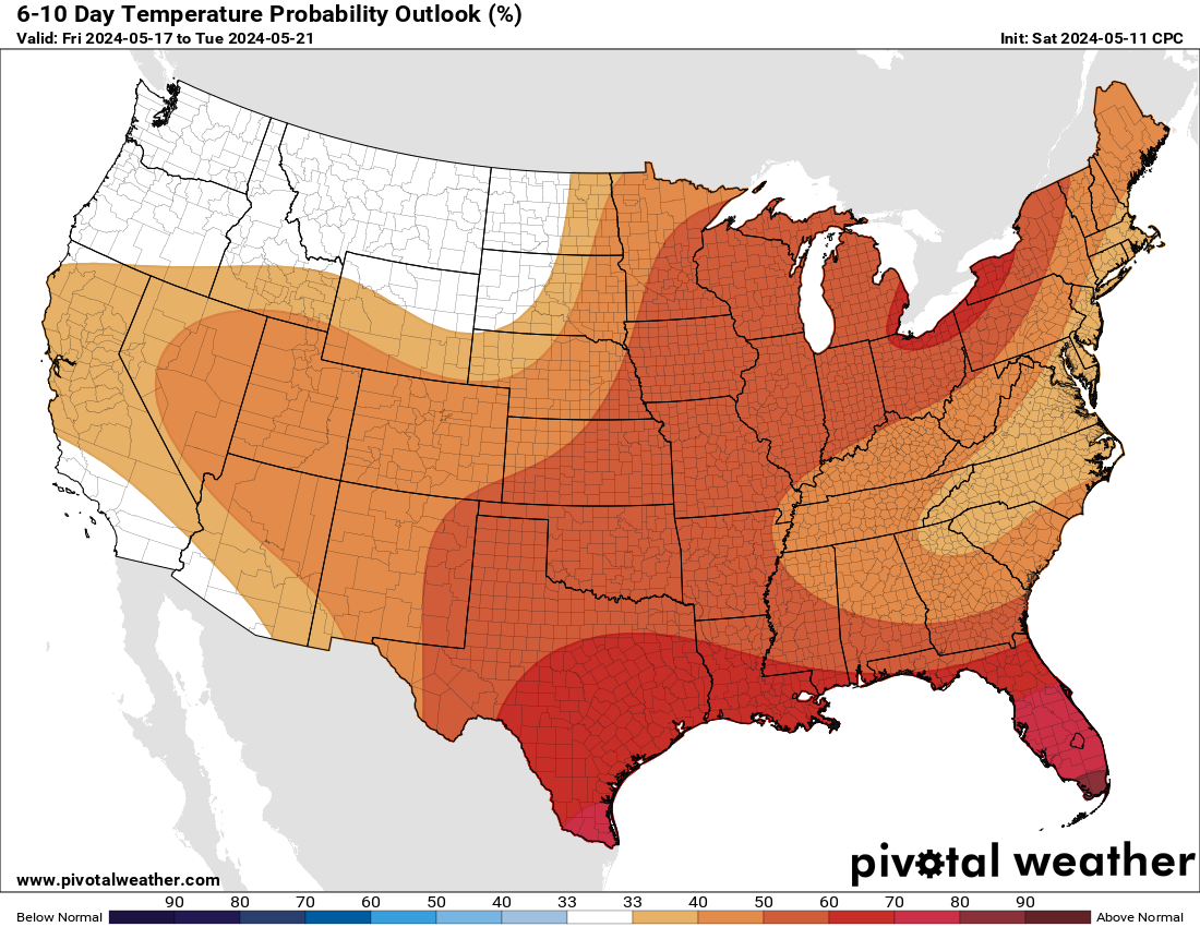 |
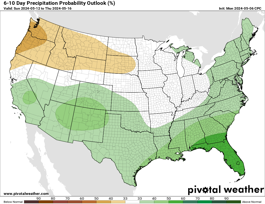 |
| 6 to 10 Day Analog Year Maps | ||
| 500mb Map | Temperatures | Precipitation |
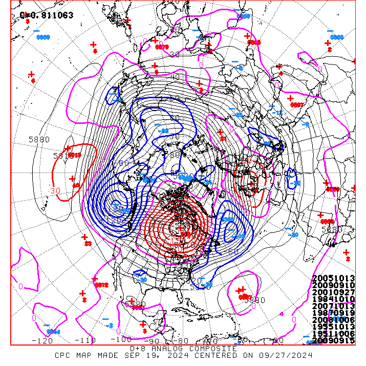 |
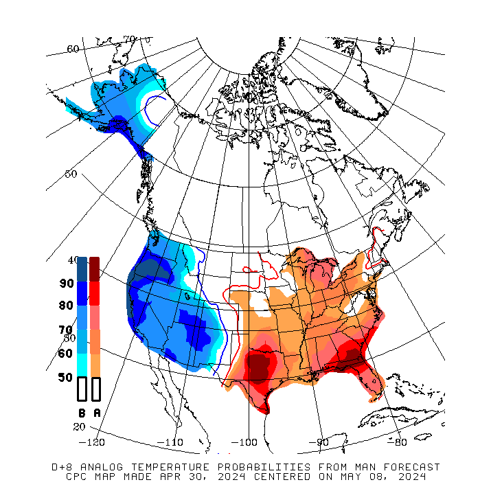 |
 |
8 to 14 Day Maps |
|
 |
 |
| 8 to 14 Day Analog Year Maps | ||
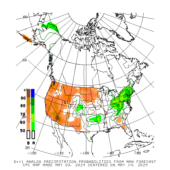
| 500mb | Temperature | Precipitation |
 |
 |
 |
*********************************************************************************************************************
Climate Prediction Center
Background
Vision
- An informed society preparing for and responding to climate variations and their impacts
Mission
- CPC delivers real-time products and information that predict and describe climate variations on timescales from weeks to years thereby promoting effective management of climate risk and a climate-resilient society.
Expert Assessments
- Climate Prediction Center (CPC) meteorologists and oceanographers review climate and weather observations and data along with model results; assess their meaning, significance, and current status; and likely future climate impacts. Their findings are issued as assessments, advisories, special outlook discussions, and bulletins.
U.S Hazards Outlook
- From Monday-Friday, the CPC issues an outlook of weather- and climate-related hazards to the United States for the next three to fourteen days.