Hi Everyone,
Check out the latest US Hazards Outlook from the Climate Prediction Center below.
US HAZARDS OUTLOOK
NWS Weather Prediction Center and Climate Prediction Center
College Park, MD
300 PM EDT Tuesday, January 21, 2024
| Day 3 – 7 Outlook | Day 8 – 14 Outlook |
 |
 |
US Day 3 – 7 Hazards Outlook
Issued by the Weather Prediction Center (WPC)
Valid Friday, January 24th through Tuesday, January 28th
…Overview…
Mean troughing over the east-Central U.S. on Friday will progress eastward and cross the East Coast by the weekend. Behind this, weak ridging and more zonal flow will develop, finally helping to moderate the bitterly cold temperatures in the South and East. A shortwave dropping into the northern Rockies late this week will split, sending northern stream energy across the northern tier of the nation while trailing energy dives south to form a closed low over the Southwest that will linger through early next week. The upper low will likely bring beneficial precipitation to parts of southern California that have been dealing with devastating wildfires. Precipitation will also be enhanced across the Lower Mississippi Valley Sunday and Monday as a slow moving frontal boundary moves through the region.
Click here for the rest of the forecast discussion
US Weather Hazards
Issued by the Climate Prediction Center
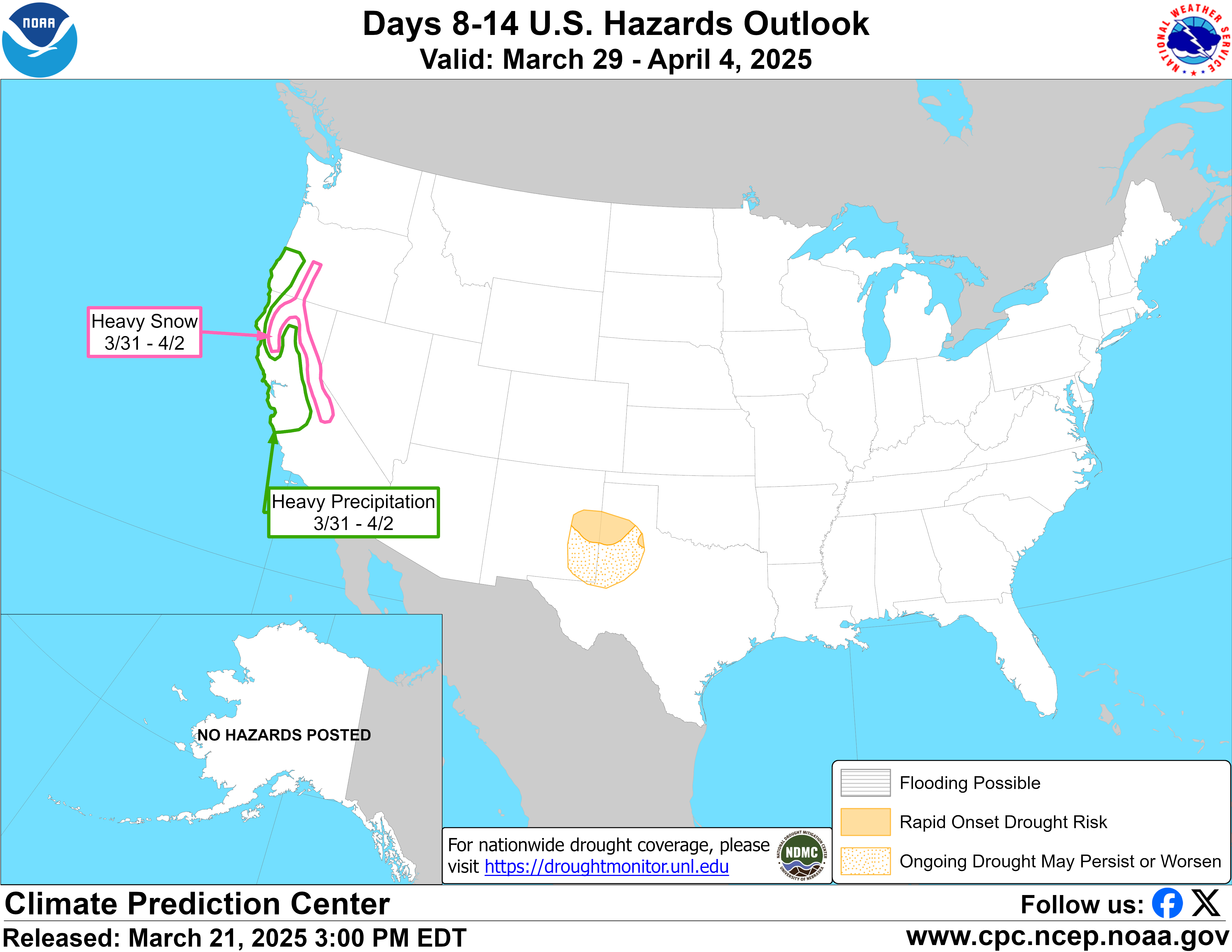
8 to 14 Day Outlook Summary
Valid Wednesday, January 29th through Tuesday, February 4th
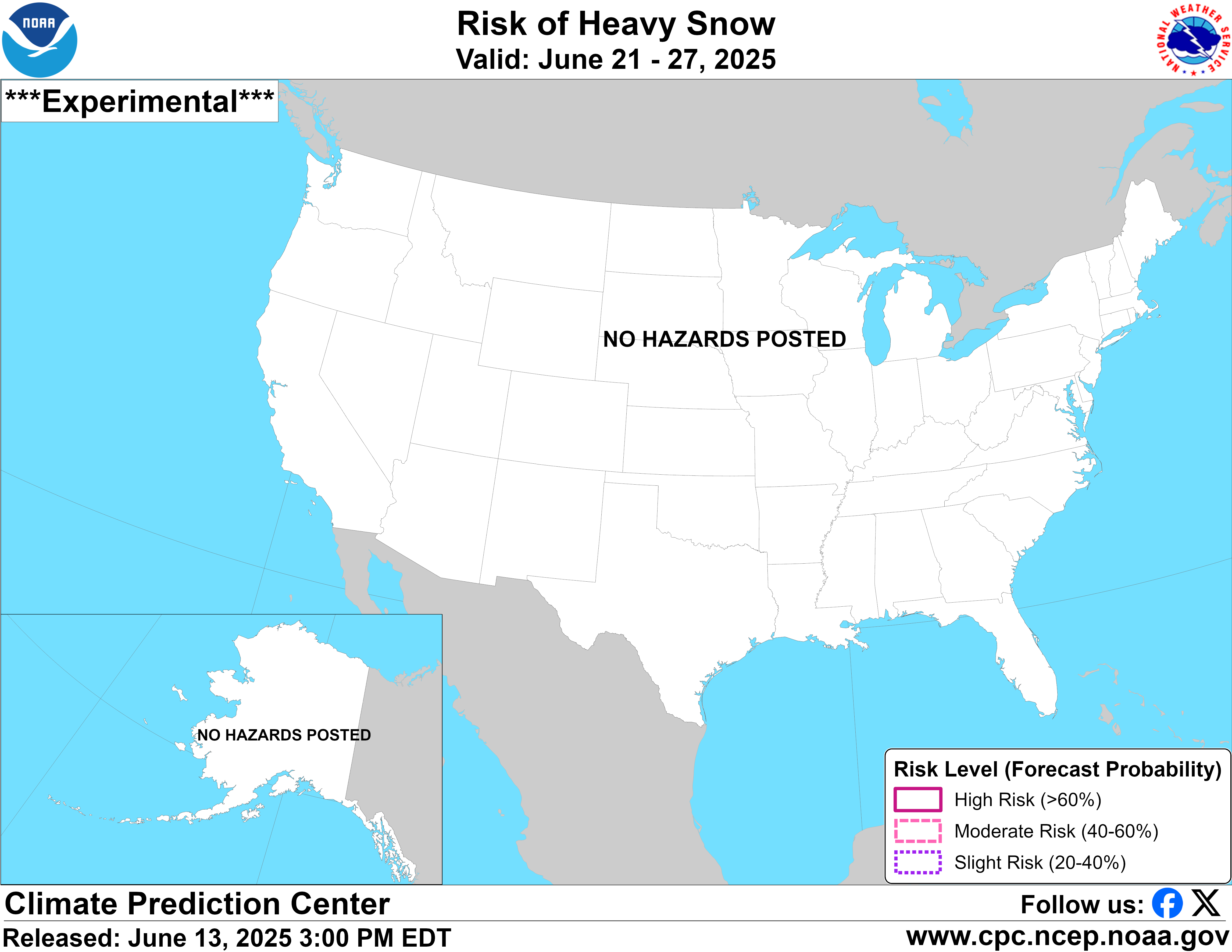
Synopsis: A major temperature change is forecast by the end of January with near to above-normal temperatures favored for a majority of the lower 48 states while anomalously cold temperatures prevail across Alaska. A transition to a more zonal flow pattern is anticipated which lowers the risk of any widespread, high impact winter storms. Beginning on January 30, enhanced onshore flow is forecast to result in periods of snow, potentially heavy, to the Cascades and northern Rockies.
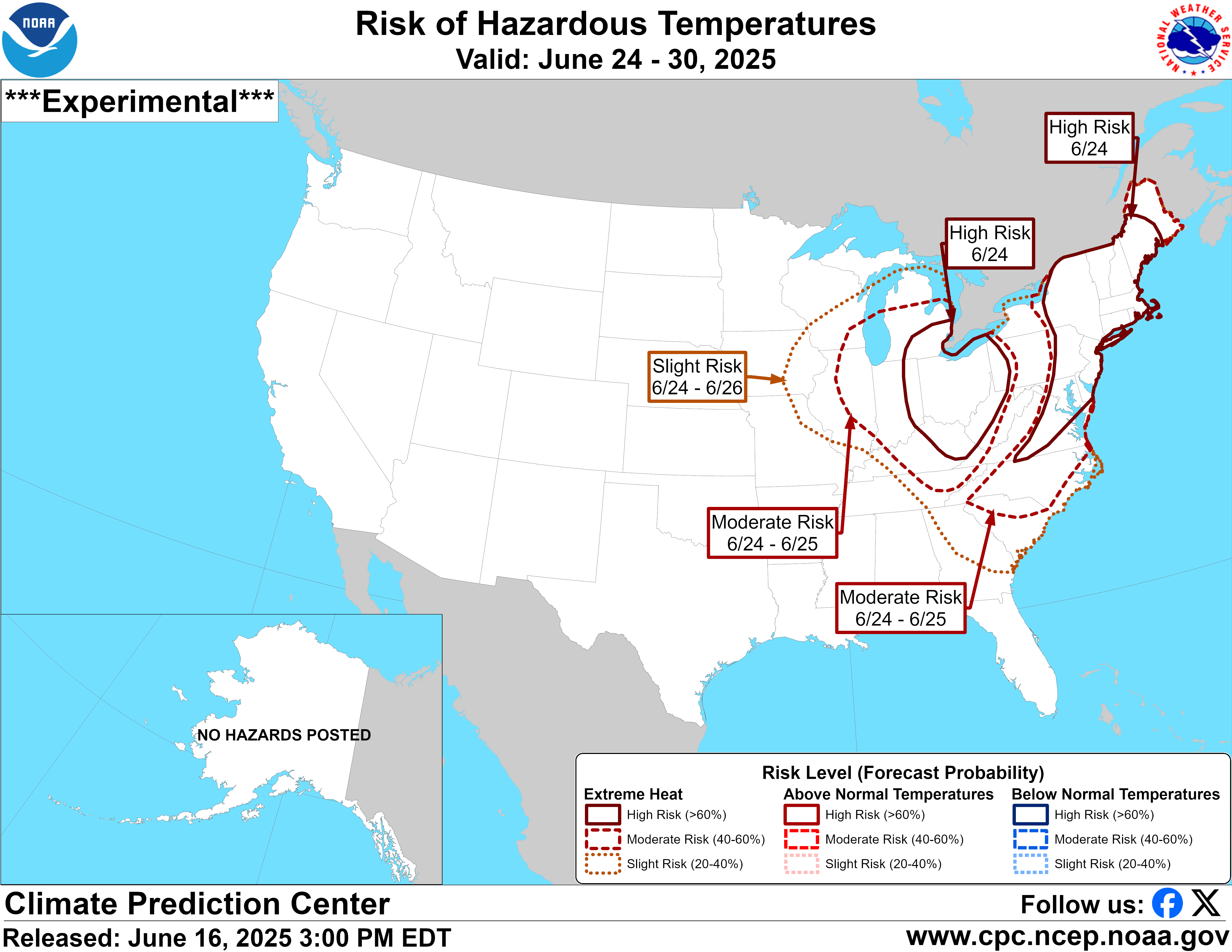
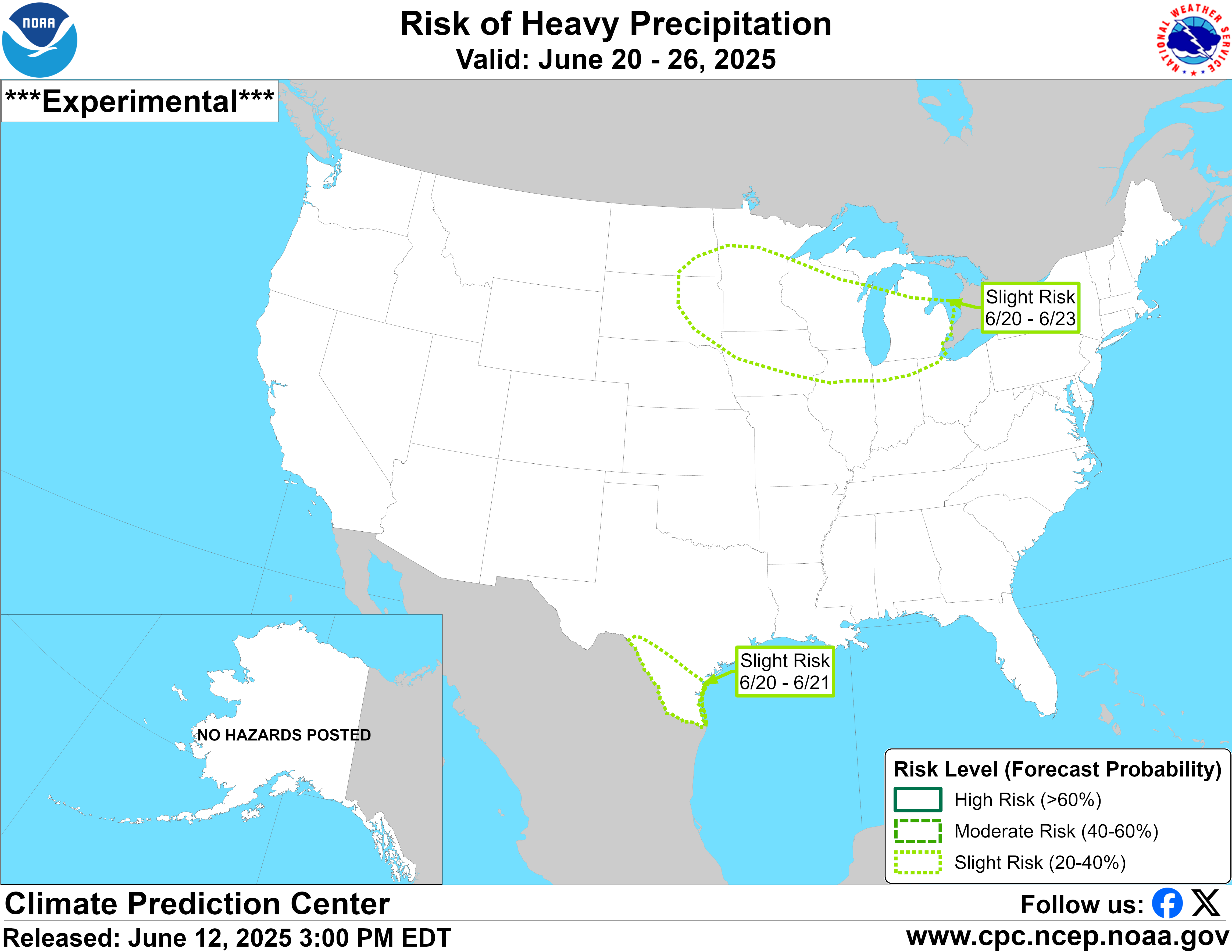
| Experimental Probabilistic Outlooks |
||
 |
 |
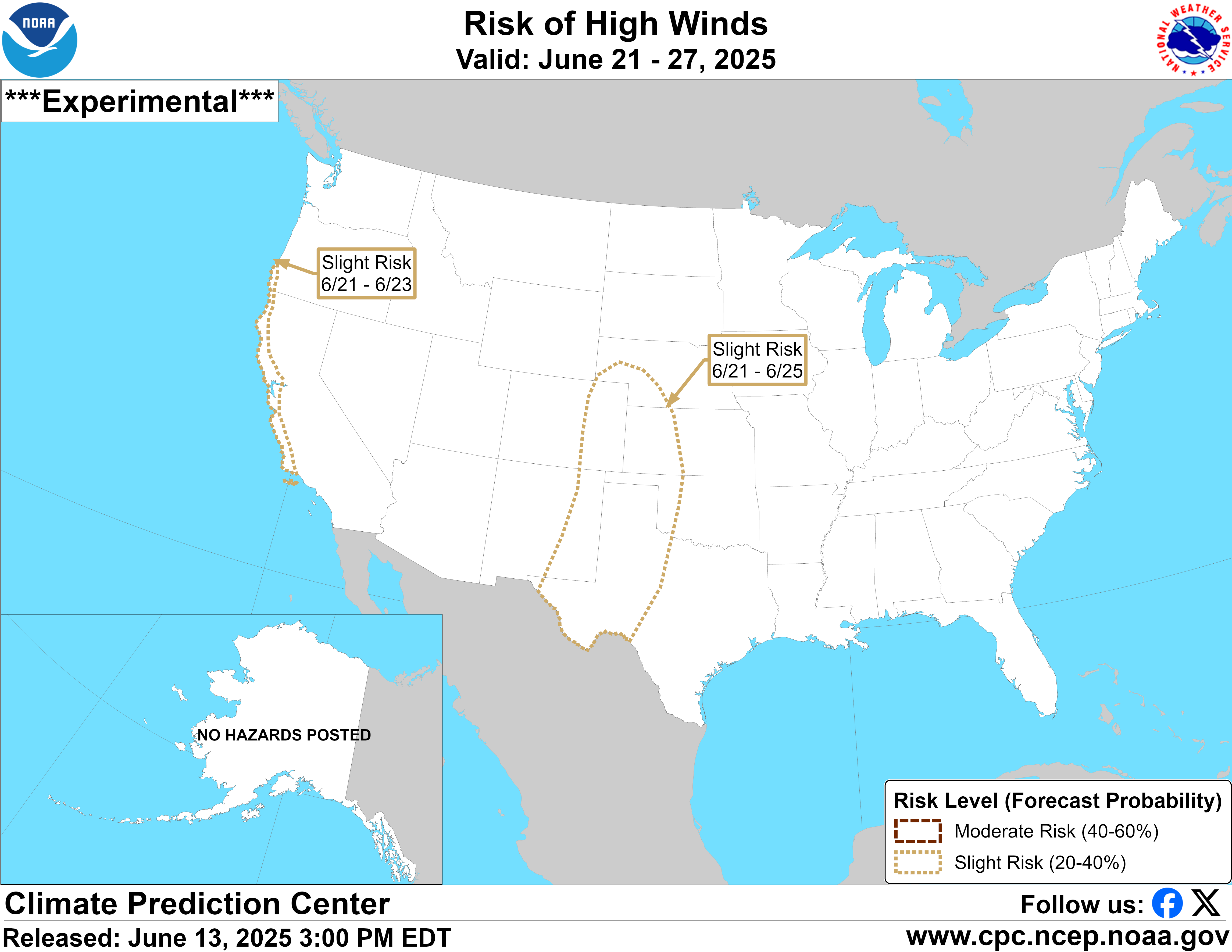 |
| Temperature Hazards | Precipitation Hazards | Wind Hazards |
 |
||
| Snow Hazards | ||
Weather Hazards
For the full discussion, click here |
||
| 6 to 10 Day Maps | |
 |
 |
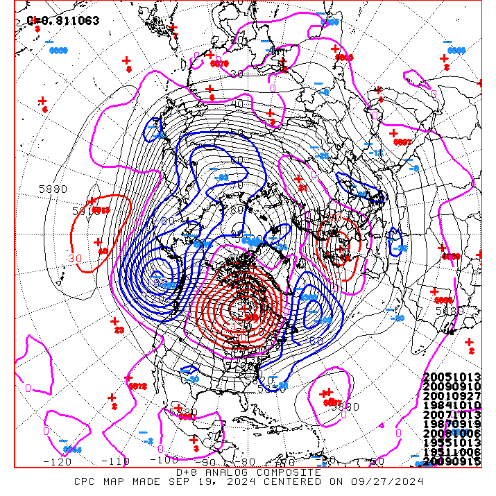
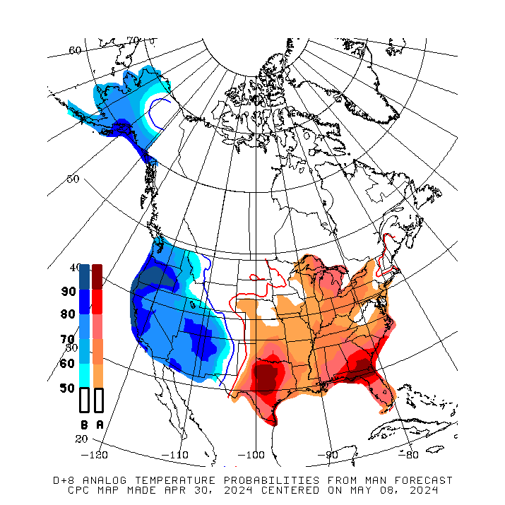
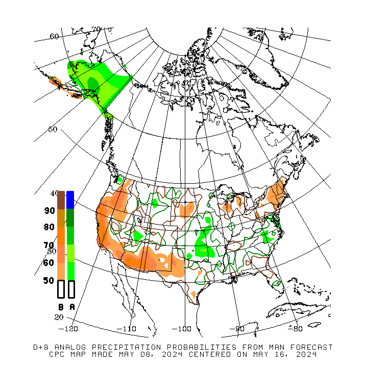
| 6 to 10 Day Analog Year Maps | ||
| 500mb Map | Temperatures | Precipitation |
 |
 |
 |
8 to 14 Day Maps |
|
 |
 |
| 8 to 14 Day Analog Year Maps | ||
| 500mb | Temperature | Precipitation |
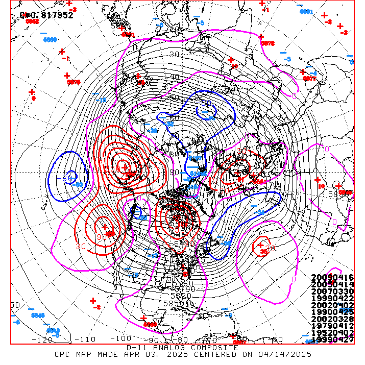 |
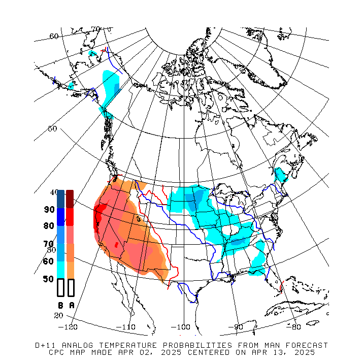 |
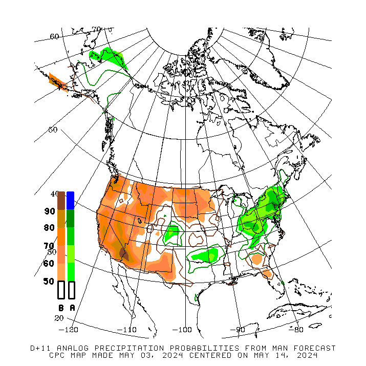 |
*********************************************************************************************************************
Climate Prediction Center
Background
Vision
- An informed society preparing for and responding to climate variations and their impacts
Mission
- CPC delivers real-time products and information that predict and describe climate variations on timescales from weeks to years thereby promoting effective management of climate risk and a climate-resilient society.
Expert Assessments
- Climate Prediction Center (CPC) meteorologists and oceanographers review climate and weather observations and data along with model results; assess their meaning, significance, and current status; and likely future climate impacts. Their findings are issued as assessments, advisories, special outlook discussions, and bulletins.
U.S Hazards Outlook
- From Monday-Friday, the CPC issues an outlook of weather- and climate-related hazards to the United States for the next three to fourteen days.
